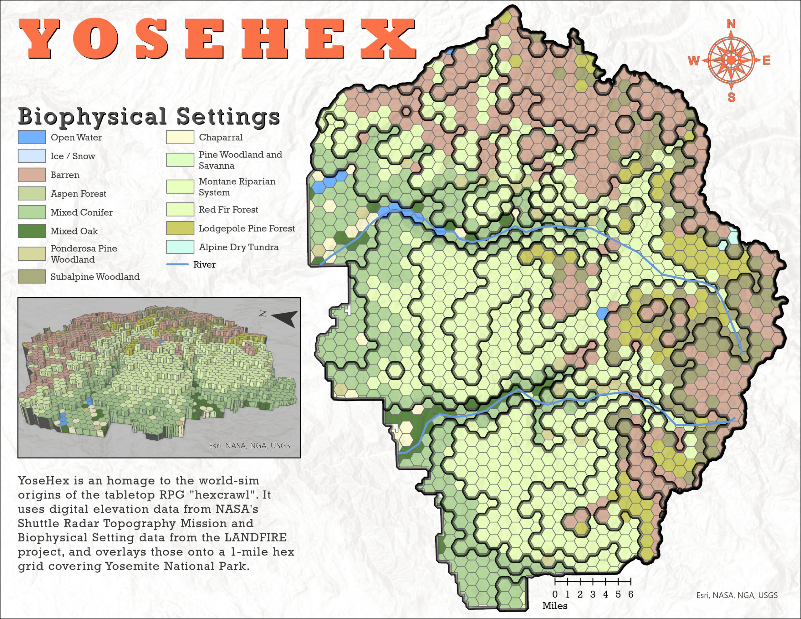
YoseHex is a self-initiated project that merges my professional experience with geospatial data and my personal interest in the visual language of tabletop roleplaying games. Inspired by old-school Dungeons & Dragons hex maps and built using LANDFIRE’s Biophysical Settings and a global Digital Elevation Model (DEM), YoseHex is a stylized hex map that resemble those found in classic game modules, while remaining grounded in real-world ecological data.
This project reflects a core belief that drives my work in GIS: that maps can clarify complex realities and invite curiosity and imagination.